

Home/Capabilities/GIS & Spatial Intelligence
GIS & Spatial Intelligence
Turning imagery and location data into decisions — at the scale of a site, a corridor or a country.
Services
GIS services and spatial analysis
Satellite and UAV processing pipelines, change detection, LiDAR and spatial decision-support platforms that turn location data into operational intelligence. Delivered from our New Delhi lab, for clients across India.
01
Satellite Image Analysis
02
Photogrammetry
03
LiDAR Processing
04
Location Intelligence
05
WebGIS Development
06
Change Detection
07
Land-Use Classification
08
SAR Data Processing
09
Digital Elevation & Terrain Models
10
Orthomosaic Generation
11
UAV Survey Pipelines
12
Spatial Databases
13
Route & Site Planning Tools
14
Crop & Water Analytics
What We Deliver
Scope of work
Typical toolchain
QGIS · GDAL · PostGIS · Google Earth Engine · Rasterio · Leaflet · MapLibre
- Satellite and UAV imagery processing pipelines — optical, multispectral and SAR
- Change detection, land-use classification and crop, forest and water analytics
- Photogrammetry, digital elevation and terrain models, orthomosaic generation
- LiDAR point-cloud processing, feature extraction and asset inventory
- Location analytics — movement, density and network analysis for planning and operations
- WebGIS portals, spatial databases and route, site and network planning tools
Where It Is Applied
Sectors we deliver this in
01
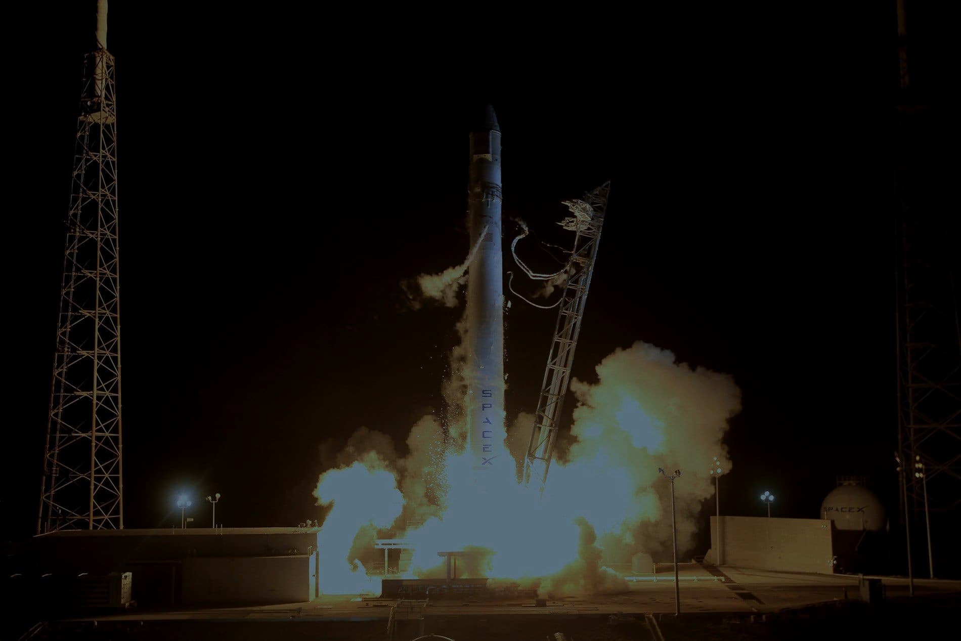
Space & Aerospace
Payload electronics, flight simulation, ground-segment software and EO analytics.
02
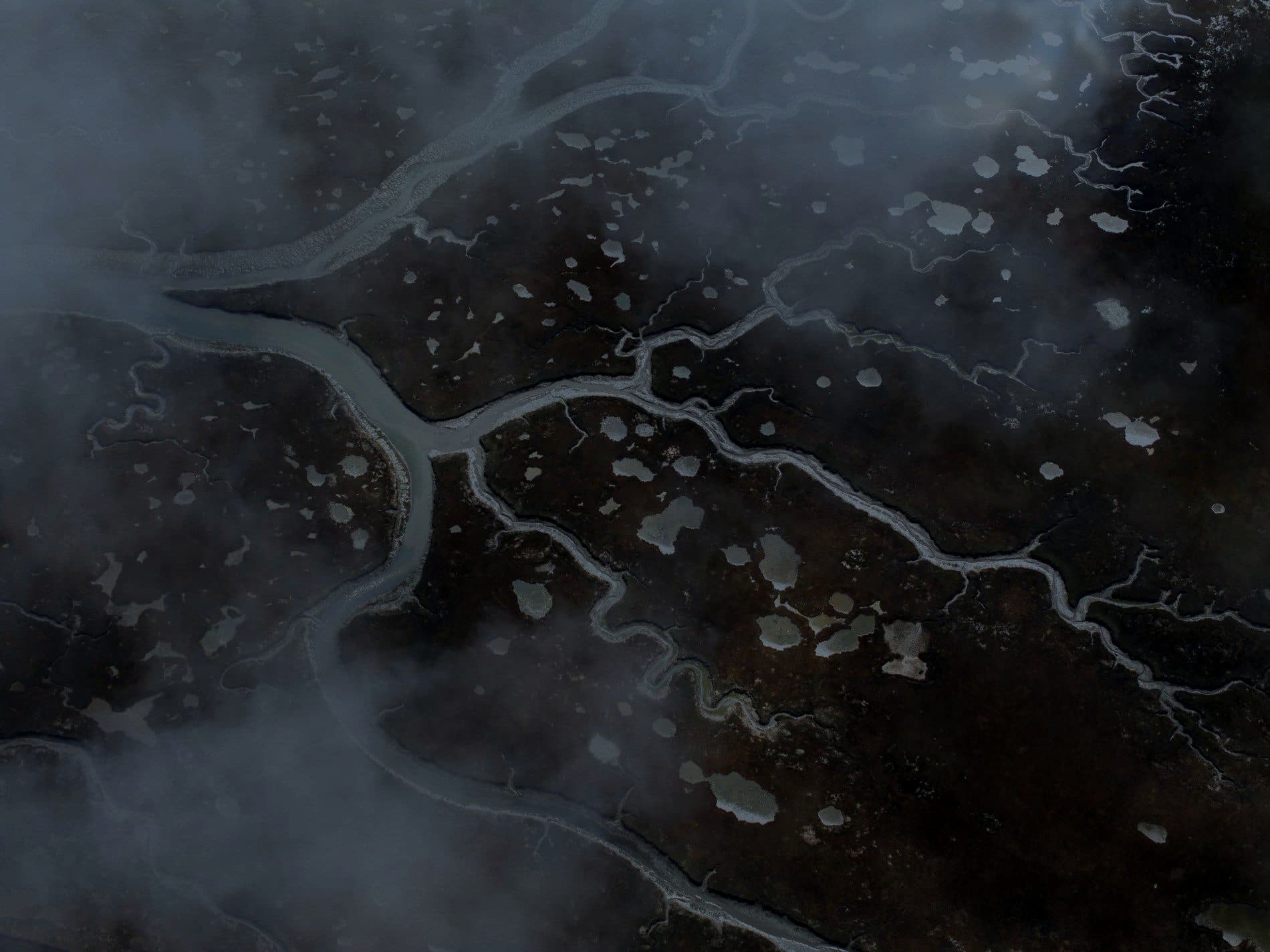
Geospatial & Earth Observation
Satellite analytics, mapping pipelines and spatial decision support.

03
Smart Cities & Infrastructure
Integrated command centres, urban sensing and spatial planning.

04
Maritime & Naval
Coastal surveillance, shipboard electronics and port systems.
05
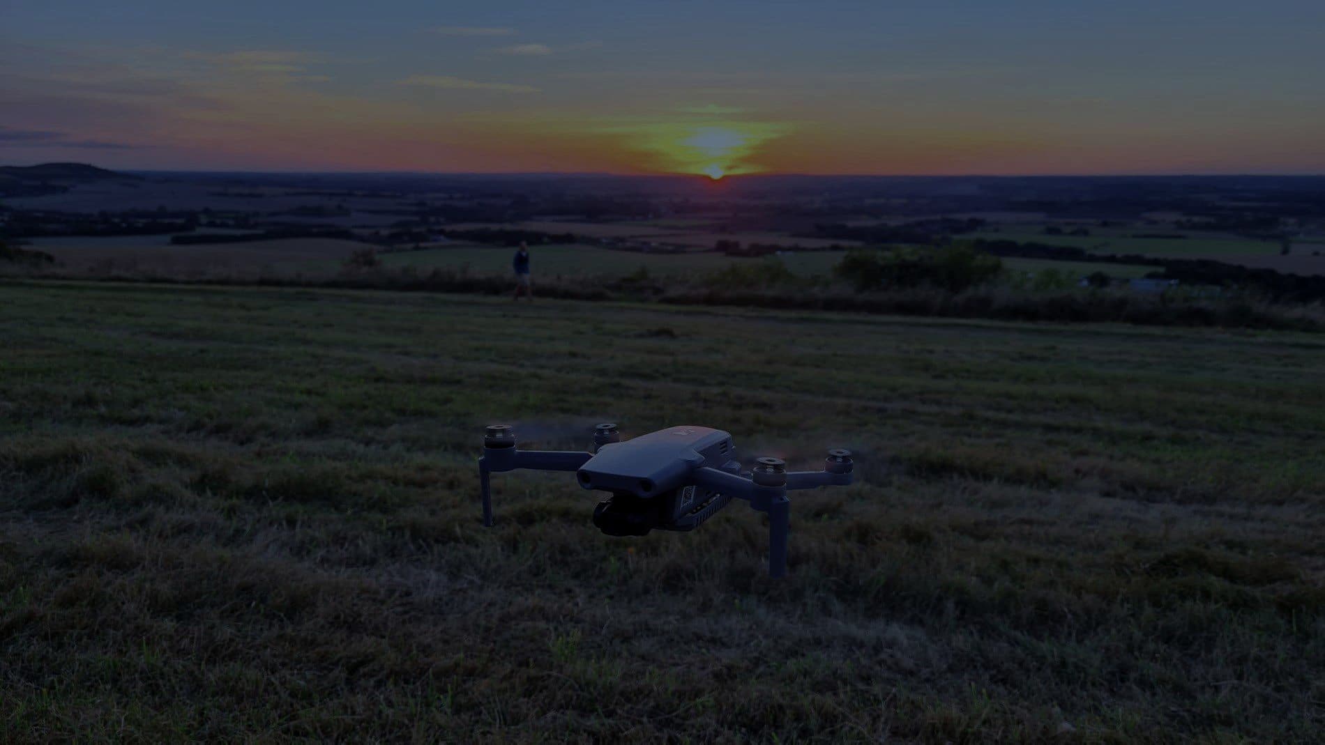
Agriculture & AgriTech
Crop analytics from satellite and UAV imagery, plus the sensing on the ground.

06
Construction & Engineering
Site survey, structural monitoring and design-to-site digital twins.
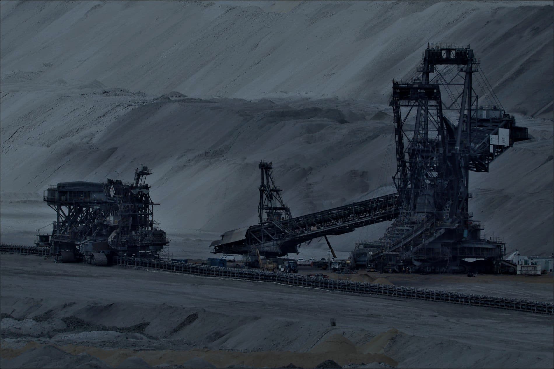
07
Mining & Natural Resources
Geospatial survey, site monitoring and equipment instrumentation.

08
Logistics & Supply Chain
Asset tracking, route optimisation and warehouse intelligence.
Other Capabilities

Talk to the GIS & Spatial Analytics team.
Send the requirement — however rough. An engineer from this discipline will read it and come back with a technical view, not a sales deck.